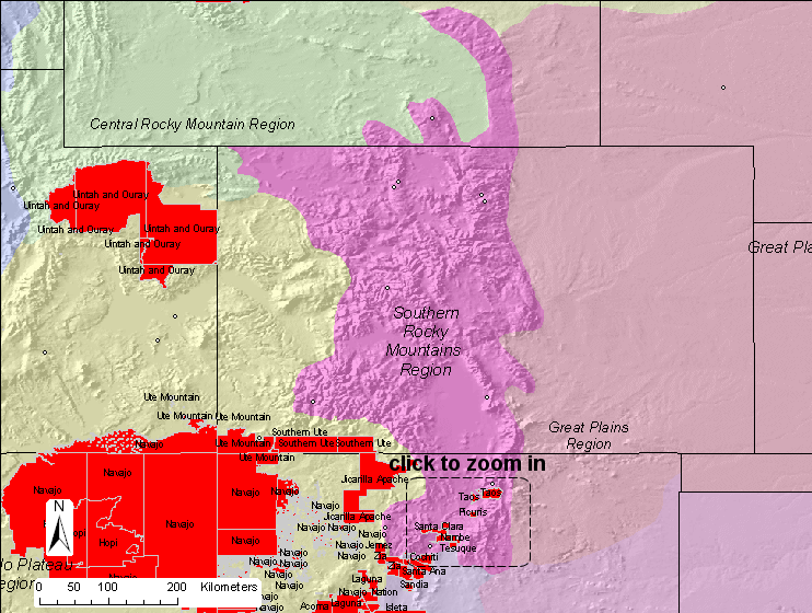
Since we wanted to
statistically derive a correlation matrix for each region, we needed at
least four sites to in the correlation. There are nine sites within
the region based on the physiographic boundaries. IMPROVE and IMPROVE
protocol sites used in this analysis are shown in this
map.
The details of the
correlation analysis are provided in tabular format below. The
Representative Distance (Rep. Dist.) is 90 km for this region.
Representative distances were based from exponential curve fits to the
correlation verses
distance curves.
Region
Sulfate
NO3
OMC
LAC
Soil
CM
Rep. Dist.
Southern Rocky Mountains
Distance (km)
227.8
0.0
0.0
76.6
0.0
49.0
Average (Mm-1)
4.4
1.4
3.7
1.2
0.7
1.8
Weighting
0.334
0.104
0.283
0.089
0.051
0.139
Weighted Dist. (km)
76.2
0.0
0.0
6.8
0.0
6.8
90
Based on a representative
distance of 90 km, all tribal areas in the region are represented by
an IMPROVE or IMPROVE protocol site as shown in this
summary map.