|
| |
Conceptual
Model |
Site
Setting |
Aerosol
& Trends Analysis |
Backtrajectory
Analysis |
PMF
Analysis |
PMF Weighted
Backtrajectory Analysis |
|
| |
| Mingo Wilderness
Area |
| |
|
The Mingo Wilderness occupies 7,730 acres on the western
half of the Mingo National Wildlife Refuge in southeastern Missouri. Terrain
is marshy flatlands, surrounded by low hills. The
MING1 IMPROVE site is located ~3 km northeast of the town Puxico near
the southeastern corned of the Wildlife Refuge. The site elevation is 112 m
(367 ft). Surrounding terrain is hilly and groundcover is predominantly
forest and lakes. |
|
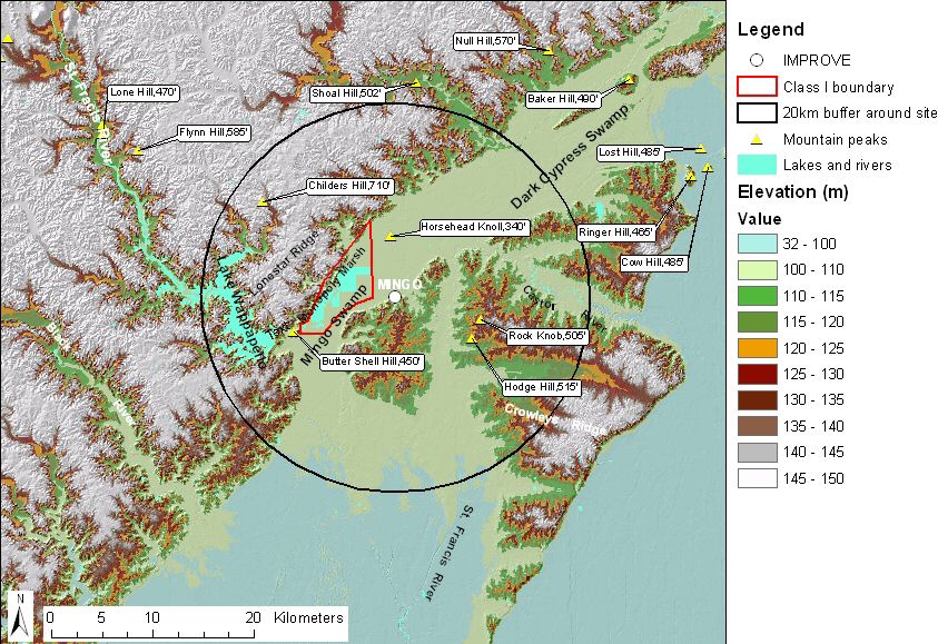 |
| Figure 1. Terrain and land
features surrounding the Mingo sampling site |
|
| Descriptive analysis maps for
Mingo can
be viewed in the
map
gallery page. Site metadata and photos from
VIEWS. |
|