|
| |
|
|
| |
| Walker River Tribe |
| |
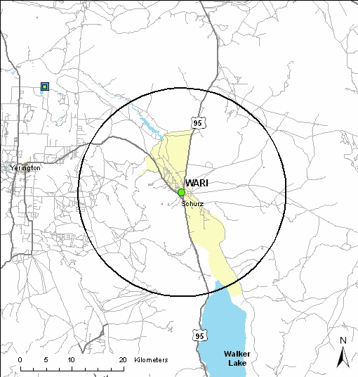
| The area around the Walker River Indian Reservation and the WARI IMPROVE
site is relatively sparse in population, with few nearby area sources. The
central California valley, separated from the monitoring site by the
intervening Sierra Nevada Range, is the nearest major industrial and
population region. Particulate matter from that source region could be mixed
upwards and transported aloft by upper level westerly winds. Reno, Nevada is
located 100 km northwest of the monitoring site. The Fallon Naval Air
Station Bravo bombing range shares the northern border of the Reservation,
20 km north of the monitoring site. Exposed desert surfaces may be a source
of entrained crustal material potentially impacting particulate measurements
at the site. High aerosol concentrations may also occur during regional
wildfire episodes. |
| |
| Major emission source types and source regions
responsible for haze |
| |
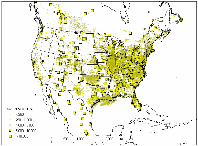 |
| Figure 5. North American SO2 emissions |
| |
| Text |
 |
| |
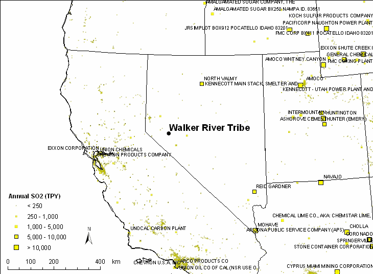
| Figure 6. Regional SO2 emissions |
|
|
More text
|
|
|
|
| |
|
Last updated 8 June 2005
|