|
| |
Fish & Wildlife Assessment
Trends Analysis
Theil Mehod
is used to determine statistically significant trends of visibility and major
aerosol chemical components in IMPROVE sites with long-term (e.g. > ~10 years)
monitoring data. |
| |
|
An
excel macro
is developed to do the trend analysis. To run the trend analysis macro, right
click the link and choose "Save Target As..." to save the excel file in your
computer; Enter any time series of the data in sheet1 of the excel file as shown
in the example; Push the "Trend Analysis" button on the bottom left of sheet1.
The analysis will be done and the results, including the slope, S-Value and
P-Value, will be outputted to sheet1.
|
| |
|
The slope (units/year) indicates the overall trend of the time series of the
data (positive indicates increase and negative indicates decrease). The
cumulative probabilities (P-Value) are calculated based on the S-Value and the
Kendall's Tau statistics, and used as significance criterion for trend
evaluation. In EPA 1997 National Air Quality Trends Report, a 5% P-Value has
been chosen as the significance criterion (if P-Value < 5%, the trend is
considered statistically significant).
|
| |
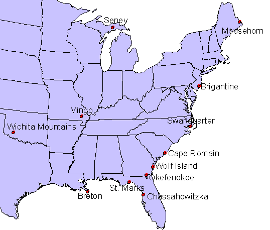 Fish and Wildlife Sites
Trends Analysis Pages:
 |
Breton Island (IMPROVE sampling started in 2000, no trends analysis) |
|
Brigantine |
|
Cape Romain |
|
Chassahowitzka |
|
Mingo
(IMPROVE sampling started in 2000, no trends analysis) |
|
Moosehorn |
|
Okefenokee |
|
Seney
(IMPROVE sampling started in 2000, no trends analysis) |
|
St. Marks
(IMPROVE sampling started in 2000, no trends analysis) |
|
Swanquarter
(IMPROVE sampling started in 2000, no trends analysis) |
|
Wichita Mountains
(IMPROVE sampling started in 2001, no trends analysis) |
|
Wolf Island (no IMPROVE site) is represented by
Okefenokee |
Page last updated 12 December 2006
|

